
Professional Land Surveying Services
“Surveying the Ground. Shaping the Future.”
20+ Years Team Experience
50 + clients
25+ Successful Projects
Our ExpertiZe
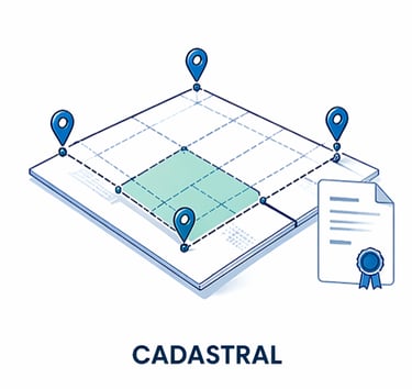
Accurate boundary surveys and legal land subdivision services to support property transactions, land registration, and development approvals.
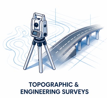
High-precision terrain and infrastructure surveys providing critical data for engineering design, construction, and site planning.
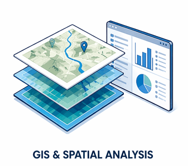
Transforming geographic data into powerful visualizations and spatial insights to support planning, asset management, and decision-making.
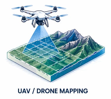
Capturing high-resolution aerial imagery, orthomosaics, and digital terrain models using advanced UAV technology for rapid and accurate site mapping.
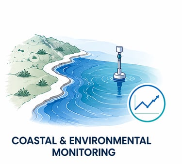
Specialized surveys and spatial monitoring to assess shoreline change, coastal processes, and environmental conditions.
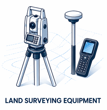
From drones to total stations, GPS receivers and even accessories for mapping and surveying, We've got you the inventory in stock to fulfill your needs.
Featured Projects
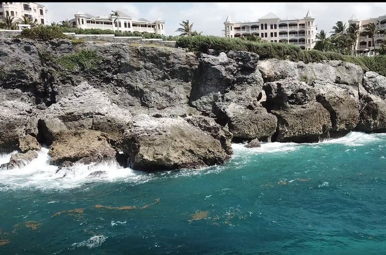
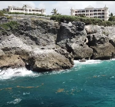
Cliff Face mapping Crane beach, barbados, W.i.
Engineering - Coastal Stability
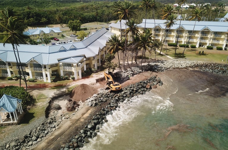
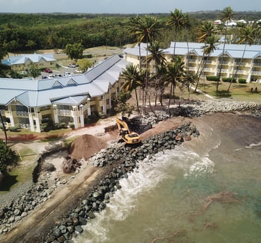
Project monitoring Magdalena, Tobago, W.i.
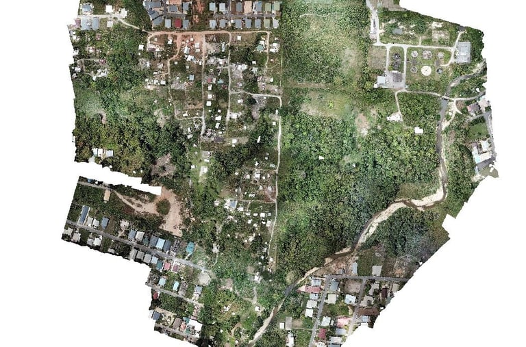
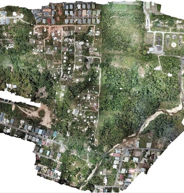
Aerial mapping Andrew lane, East trinidad, w.I.
UAV Mapping - Coastal Engineering
Informal Settlement Mapping
2019
2025
2020
© 2025 GeoLytics Limited. All rights reserved.
Location: Marabella, Trinidad and Tobago
Contact: 868-735-6605
Email: info@geolyticstt.com